Construction of Menin Road
The Menin Road was constructed in 1756 to promote transport and the economy. At the beginning of WWI, the Ypres-Vienna road is still the main connection between the Leie valley and the Westhoek. There is also a tram that connects both cities on a regular basis.
During WW1
Between 1914 and 1918, the road is in the middle of war zone. After fighting near Geluveld, in November 1914 the front runs aground in the castle parks ‘Veldhoek’ and ‘Herenthage’. Those are the woods you see a little further on, towards Ypres. In spring 1915 the front moves even further, beyond Bellewaarde and the hamlet of Hooge.
Positions
From then on, the Germans start building positions. After all, it was likely that a major British offensive would break out here. Between the front line and Geluveld, two positions cross the Menin Road. The second, the Wilhelm position, crosses them here. A branch, the Gheluvelt-Riegel, runs to the Flandern I position near Kruiseke.
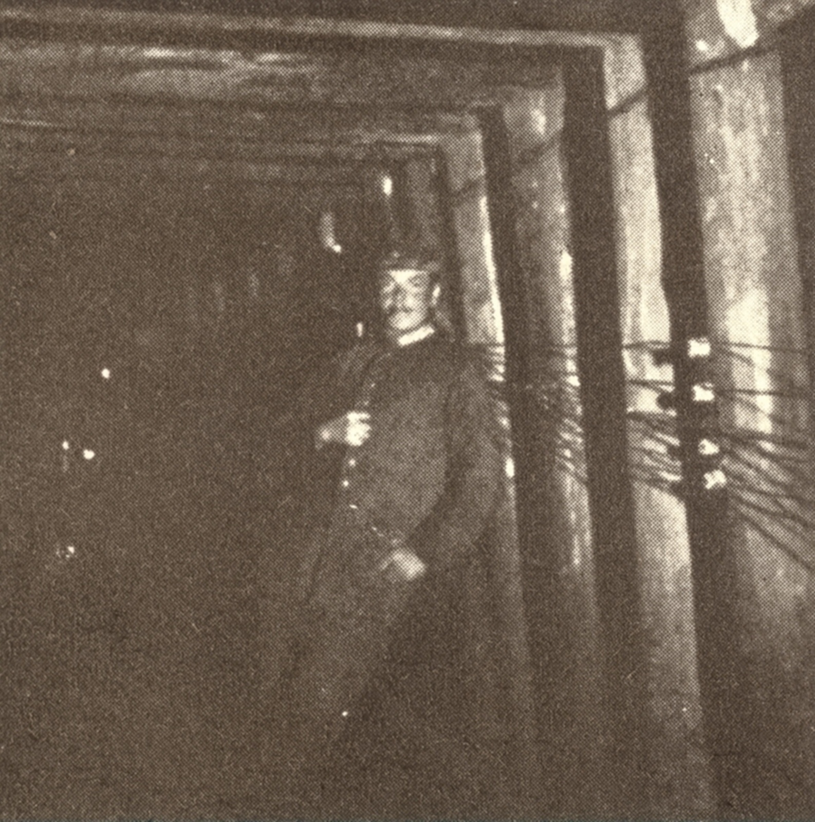
Further positions are planned in the direction of Menin. The Menenstraat is important for this construction. Numerous goods were brought in by wagon or over the tram tracks from German occupied territory. As above-ground transport close to the front was dangerous, an underground tunnel was built. In 1917, the ‘Hooge Tunnel’ leaves the castle park Herenthage. The tunnel is 2 km long.
Battle for the Menin Road
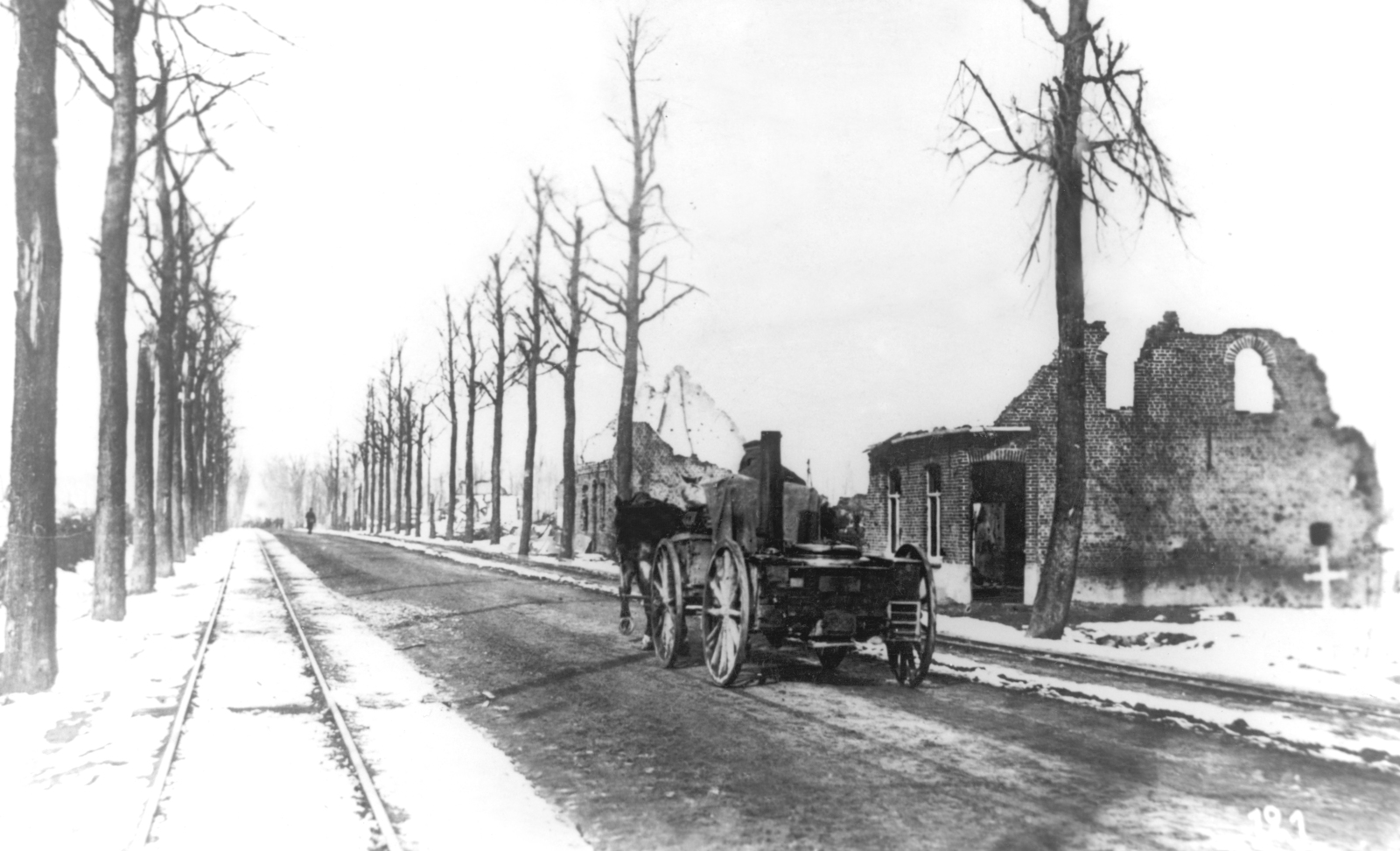
In 1917, the British retake that zone as far as this spot. They use the remnants of the Wilhelmstelling as front line. Due to the shelling, the Menin Road is badly damaged. It therefore takes great difficulty to transport troops and equipment across it. In spring 1918, Germans again pushed forward as far as Ypres. It is not until late September that the Germans are finally driven out here.
Practical information:
- Part of the Geluveld walking route
- Can be guided


