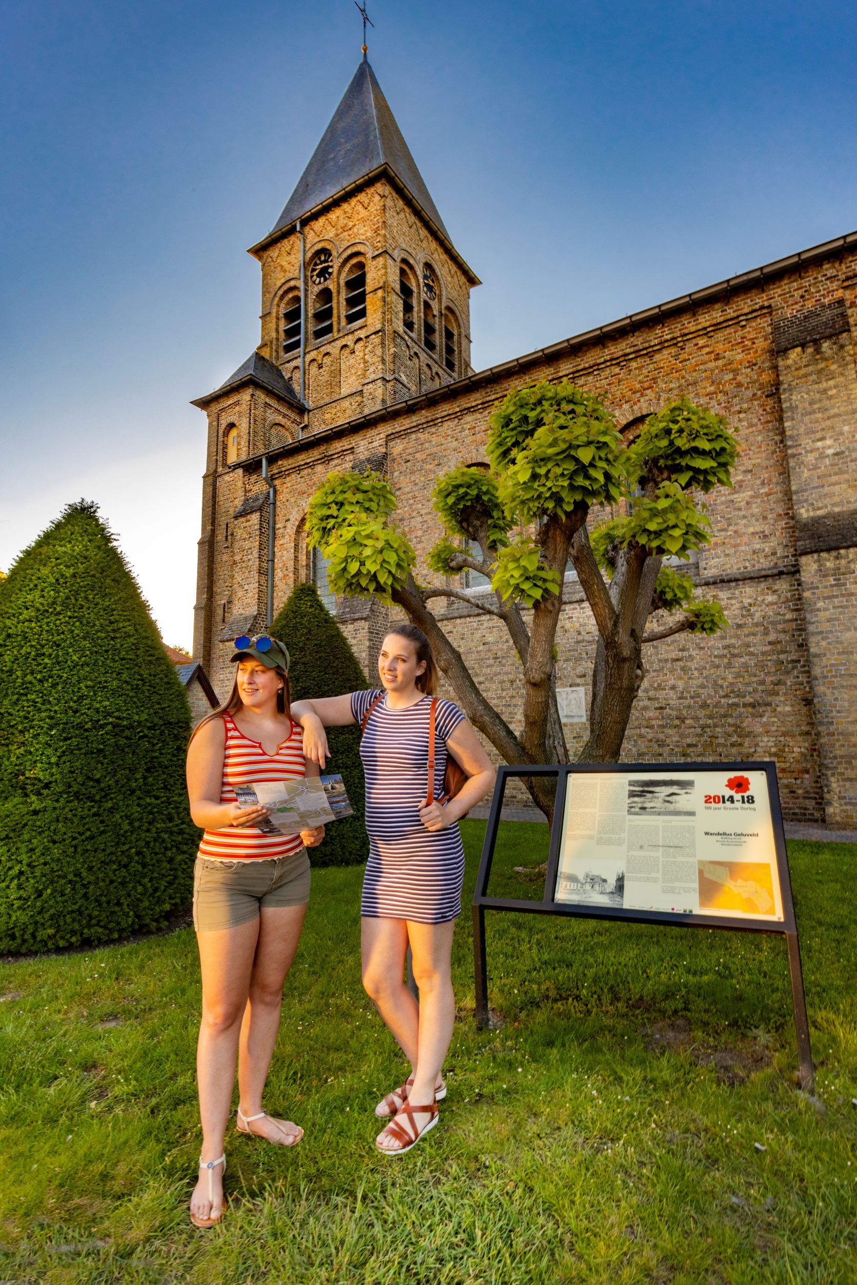
With the handy ‘The Legacy’ walking map, you can explore our municipality. Along the Geluveld Walking Route, you will enjoy wide-open landscapes and beautiful panoramas of the Leie valley and the Border region. Along the way, you will learn a lot about the history of this village, which was of great importance to the Germans in WWI. Indeed, the village was situated on the Menin Road which was the direct link between Ypres and Menin. After heavy and bloody fighting, the British pushed through to the edge of the village in 1917, which disappeared from the map due to shelling. Download the walking map here and download the wheelchair-accessible walking map here.
Practical info
- Can be guided
- Start: Market Square, 8980 Geluveld
- Signposted via nodes: 5 – 67 – 66 – 10 – 9 – 7 – 8 – 4 – 5
- Distance: 4.5 km
- Duration: 120 minutes


