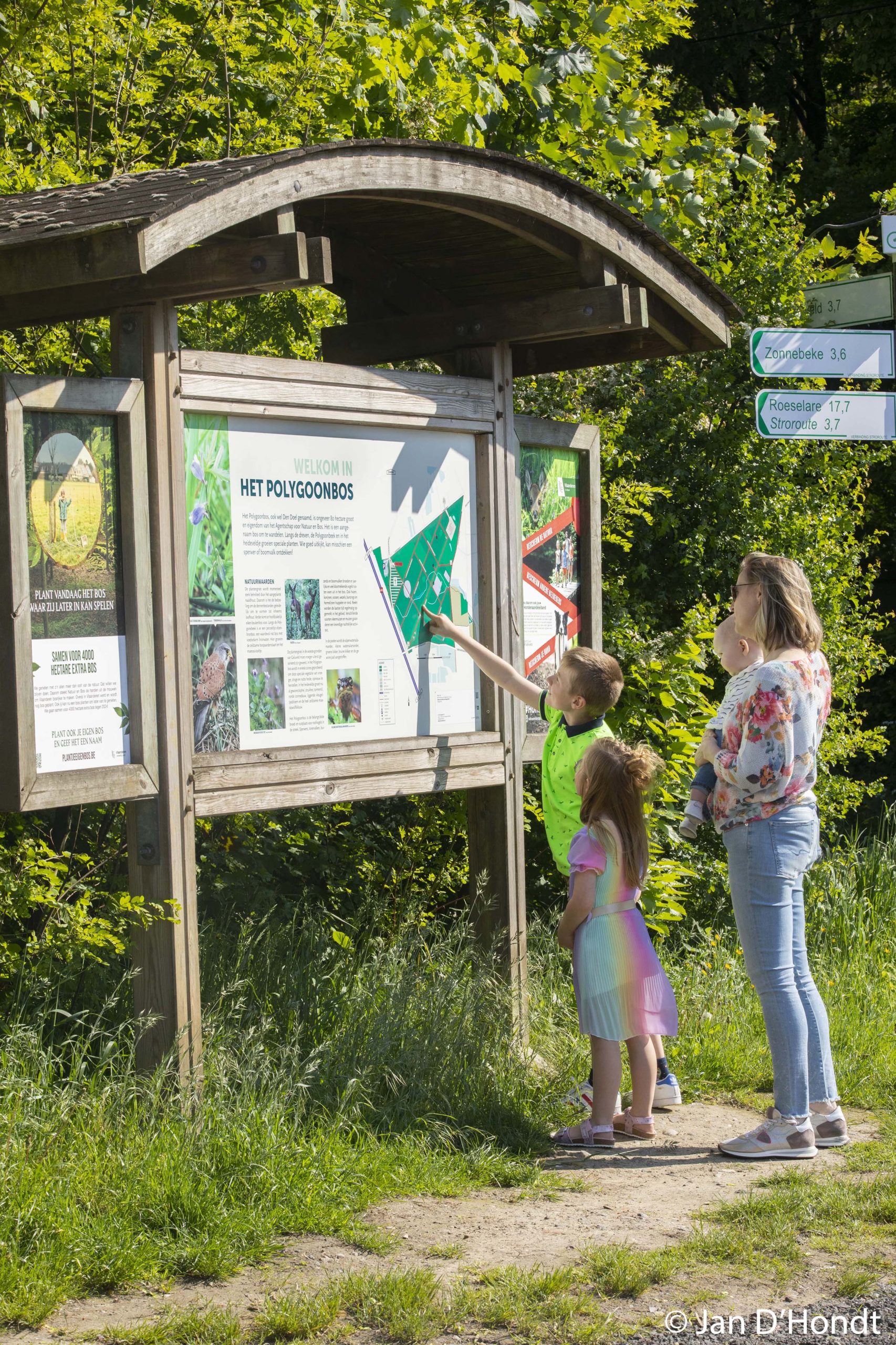
The southern walking loop runs towards the Polygoon Wood and the former battlefield near Beselare. Polygon wood is a special place in the whole war story. In 1914, French and Germans manned positions there on the southern edge of the forest. After German capture, fierce fighting took place during the Battle of Passchendaele in 1917.
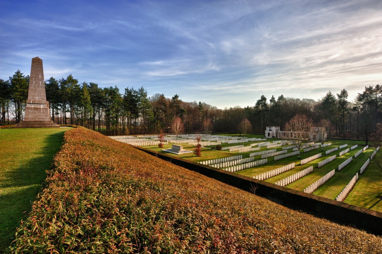
Both the small Polygon Wood Cemetery and the Buttes New British Cemetery are special memorial sites. The countryside near Beselare is particularly pleasant for walking today. Especially the idyllic valley of the Polygon Brook, the scene of bloody battles in 1917, captures the imagination.
Description: WWI, CWGC Buttes New British, New Zealand Memorial, CWGC Polygon Wood Cemetery, Polygon Wood, New Zealand deployment, Australian deployment, battlefields near Beselare
Practical info
- Can be guided
- Start: Kasteelgebouw, Berten Pilstraat 5a, 8980 Zonnebeke
- Signposted via nodes: 9 – 12 – 11- 17 – 18 – 28 – 29 – 31 – 32 – 33 – 37 – 32 – 31 – 30 – 40 – 39 – 38 – 51 – 50 – 47 – 46 – 45 – 44 – 43 – 25 – 26 – 20 – 19 – 16 – 15 – 13 – 12 – 9
- Distance: 9,8 km
- Duration: 120 minutes


