The Polygoon forest is a remnant of a large forest, once owned by the Marquis of Beselare and local abbeys of Zonnebeke and Nonnebossen. In 1914, it was owned by the state and used as a military training ground.
Shooting range
Even before Belgian independence, Polygoonbos was used by soldiers billeted in Ypres. In the mid-19th century, a firing range was built, with a specially constructed heap of earth or ‘butte’ to catch the bullets. A large horse track was built in the woods, which at the time were used for softwood production.
Bunkers and underground shelters
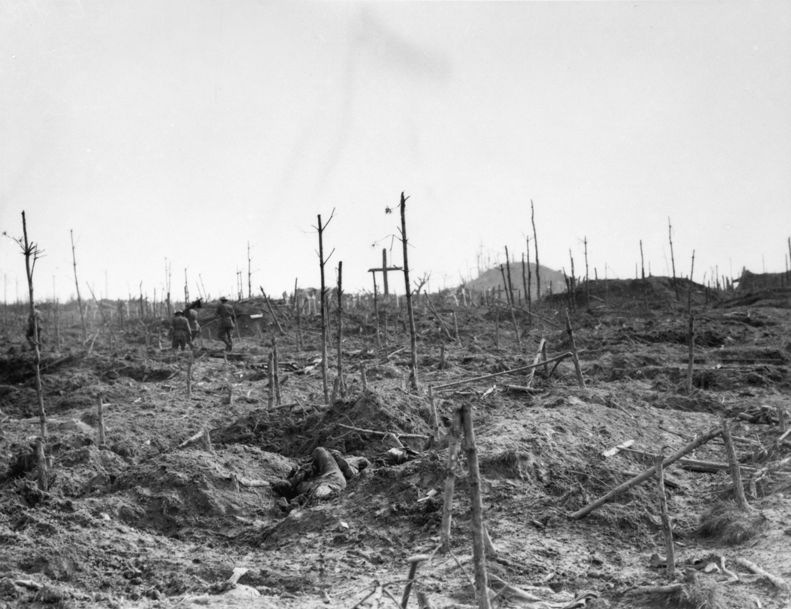
During the first winter of war, French and Germans manned positions on the southern edge of the forest. In 1915, the area falls into the hands of the Germans. They build numerous bunkers and underground shelters in the butte. On 20 September 1917, the 1st Australian division reaches the western edge of Polygon Wood. The rest of the blasted forest is captured six days later by the 5th Australian Division. The front eventually runs aground and in winter New Zealand troops try in vain to push through into Polderhoek Park, south of the forest.
Cemetery
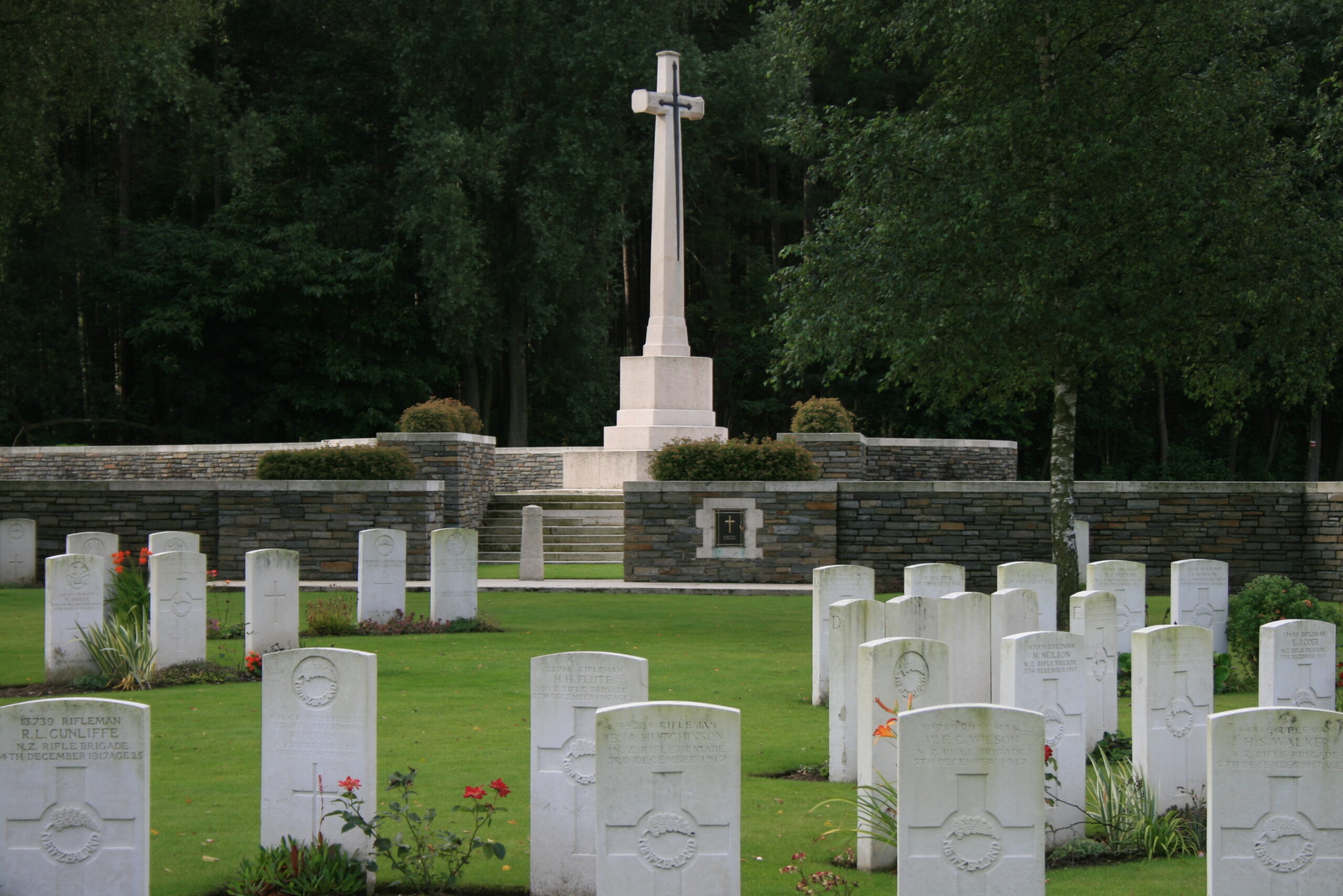
As early as 1917, fallen Australians go to be buried next to a German cemetery, the beginning of Polygon Wood Cemetery. After the war, more of the fallen are reburied in the larger Buttes New British Cemetery. A New Zealand memorial is erected and a memorial to the 5th Australian Division is erected on the butte. In Polygon Wood, which today is ecologically managed by the Agency for Nature and Forests, there are still some bunkers, a reminder of the First World War.
The official Polygon Wood Cemetery
This passage will be made in 2014. Originally, Polygon Wood Cemetery and the German cemetery Polygon Field were connected here. In 1917, it was known as ‘Ehrenfriedhof RIR 248 Polygonhaus‘. After Australian troops took the area, the British subsequently decided to create their own cemetery. After the spring offensive of 1918, it comes back into German hands.
After the war, both cemeteries are neatly laid out. The British section will have a design by Charles Holden. The graves do not line up nicely. This is due to rapid burial during the war. In 1955, the German part is cleared. Today it is arable land. Only at Polygon Wood Cemetery lies another German: Hans Bogner. He made a desperate attempt to stop the advancing troops during the liberation offensive.
Practical info
- Can go with a guide
- Free


