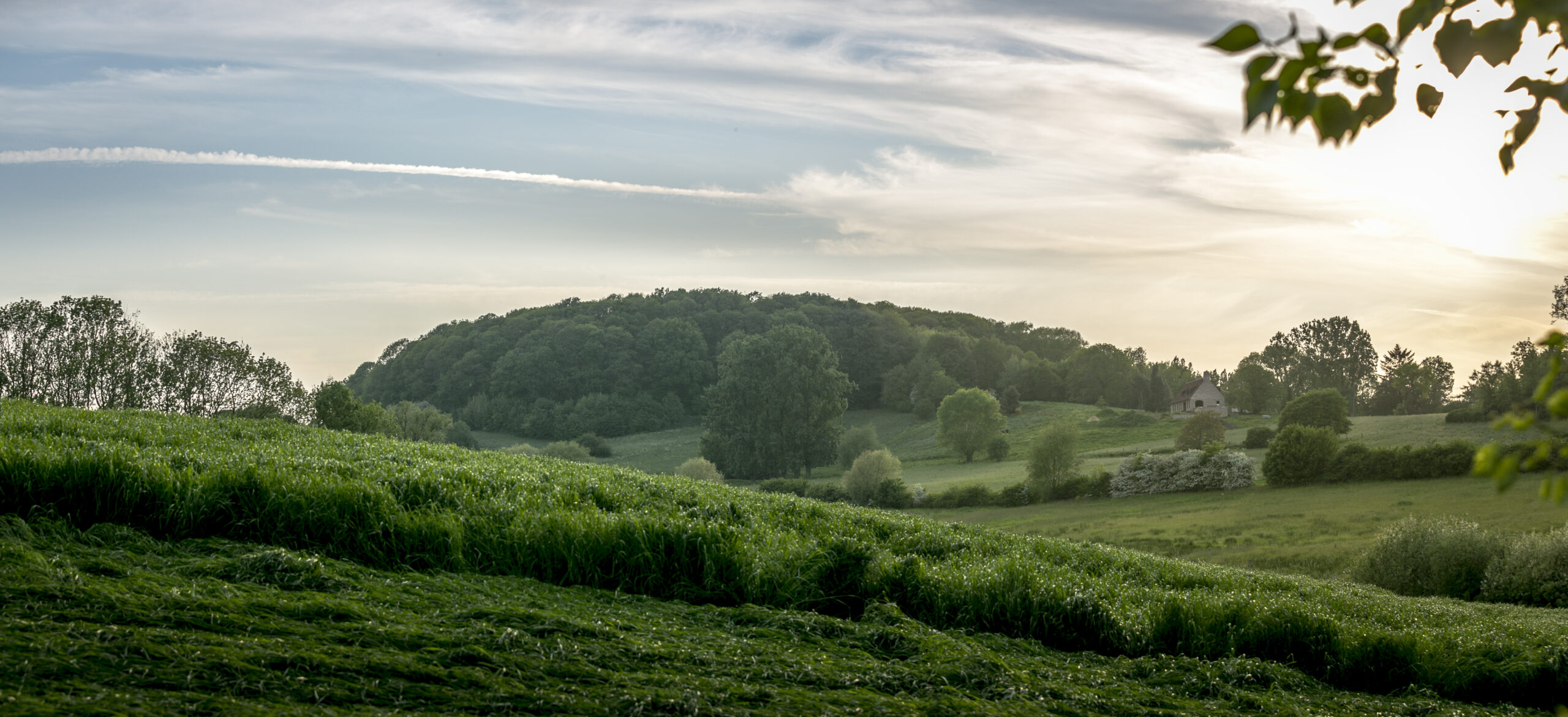
The landscape of the Westhoek is the result of millions of years of natural formation. Characteristic are the West Flemish Hills and the Mid-West Flemish Hillridge, an alternation of subtle heights and lows.
The West Flemish Hills, located in the south of Ypres, originated as large sandbanks in a primordial sea. After they dried up, the dunes petrified into hard sandstone banks that remained as ‘witness hills’, formed by erosion. 1.7 million years ago, the Mid-West Flanders Ridge, east of Ypres, was also created by a primordial river. After drying up, the bed of sand, gravel and boulders resists the erosive forces that deeply eroded the surrounding area.
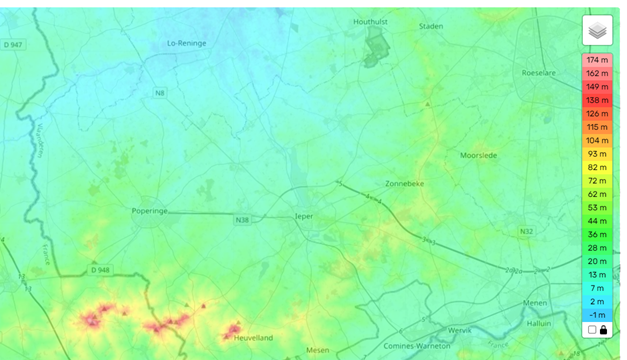
You stand here at an altitude of 54 metres above sea level and overlook the valley of the IJzer (river). You are on a divide between valleys, with the Valley of the Leie stretching out behind you.
Tip: In front of you you’ll find the church tower of Zonnebeke. The tower and viewpoint is accessible free of charge. At a height of 40 metres, the tower offers a 360° view of the area. In clear weather, you can see the Witness Hills, plains of the IJzer and even Roeselare.


