Wet soils characterise the valleys in this area. Since humans have cultivated land here, they have mostly been used as grazing land. Cultivation as a field is too difficult and crops would not grow on them.
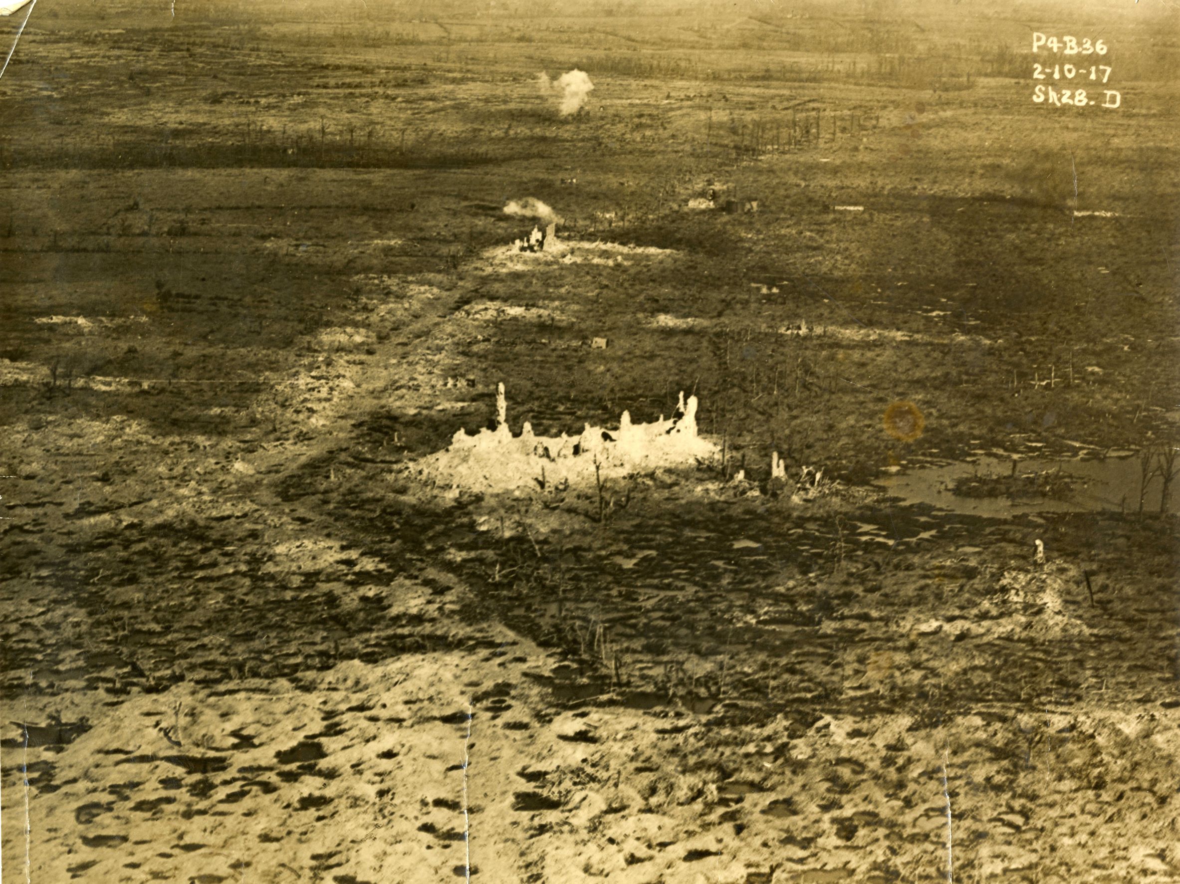
Wherever possible, plots are dewatered. In 1914, a complex network of streams, ditches and ponds is present in this landscape. When the Allies destroy the terrain in 1917, they also destroy this important drainage system. As usual, it is a relatively wet autumn. It makes the waterlogged battlefield almost inaccessible. In the valleys, there is no way through.
After the war, many lands are drained. This also eliminates the chance of valuable nature developing again. Near this wet meadow, an upper stream of the Hanebeek rises. It is preserved from drainage and specific nature management is carried out by the Agency for Nature and Forests.
Practical information:
- Part of the Polygon Wood walking loop
- Can be guided


