At shallow depths, you can find Ieperian clay layers here, which have also been mined there since the late Middle Ages. On the shallow clay layers, water accumulates after heavy or persistent rains because clay does not allow water to pass through, creating swampy places. In 1917, therefore, the “Passchendaele mud” is a formidable foe.
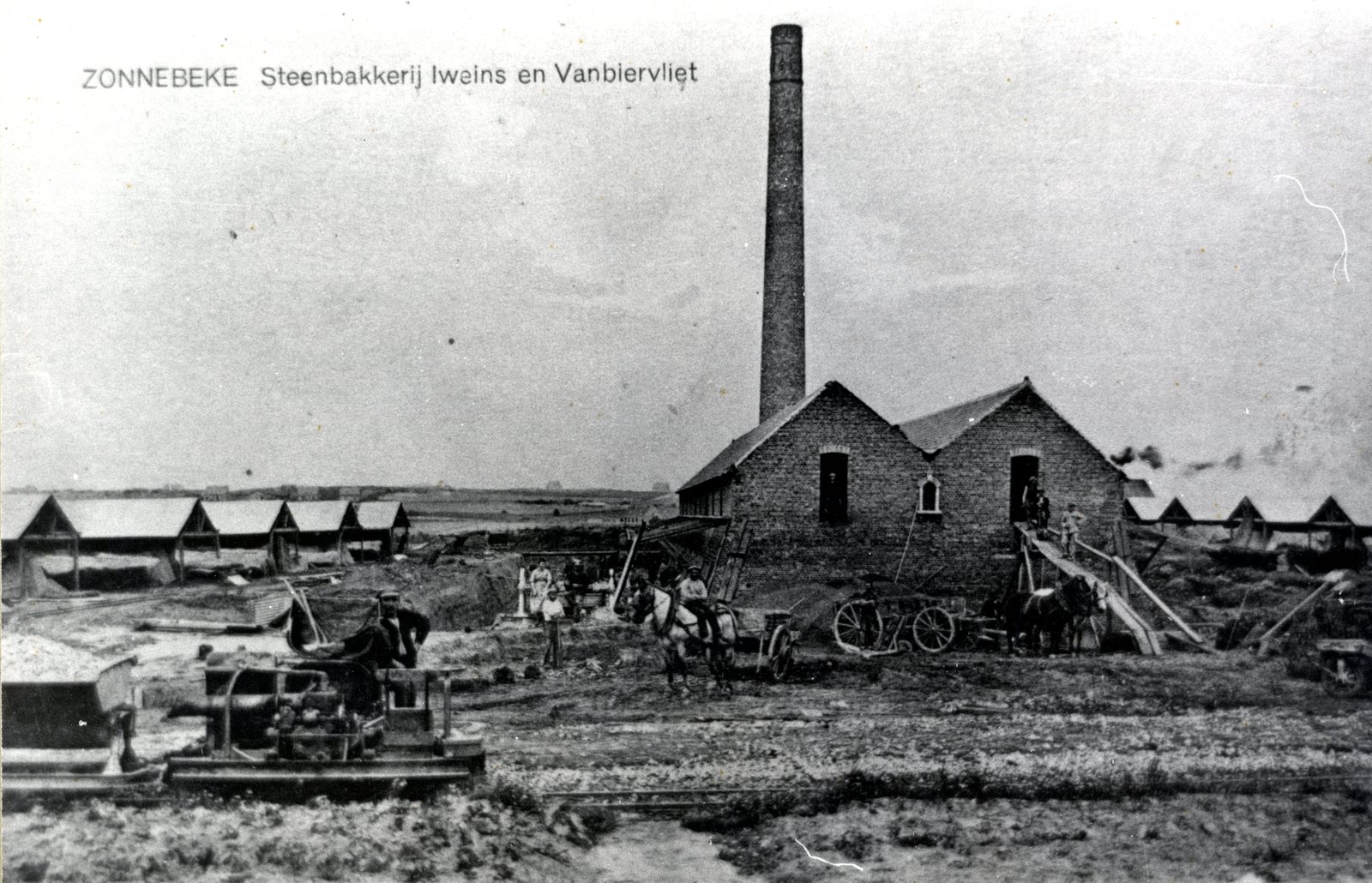
Clay mining
Just after the war, lord Emmanuel Iweins and his brothers-in-law started a new brickyard on this site. Indeed, clay mining had long been going on here and there was a great demand for building materials. The entire area along this footpath up to Berten Pilstraat is mined. As a result, it lies lower than the surrounding area. You can see this clearly from the high embankment along the row of trees and moat a little further on.
Practical information:
- Part of the Polygon Wood walking route
- Can be guided


