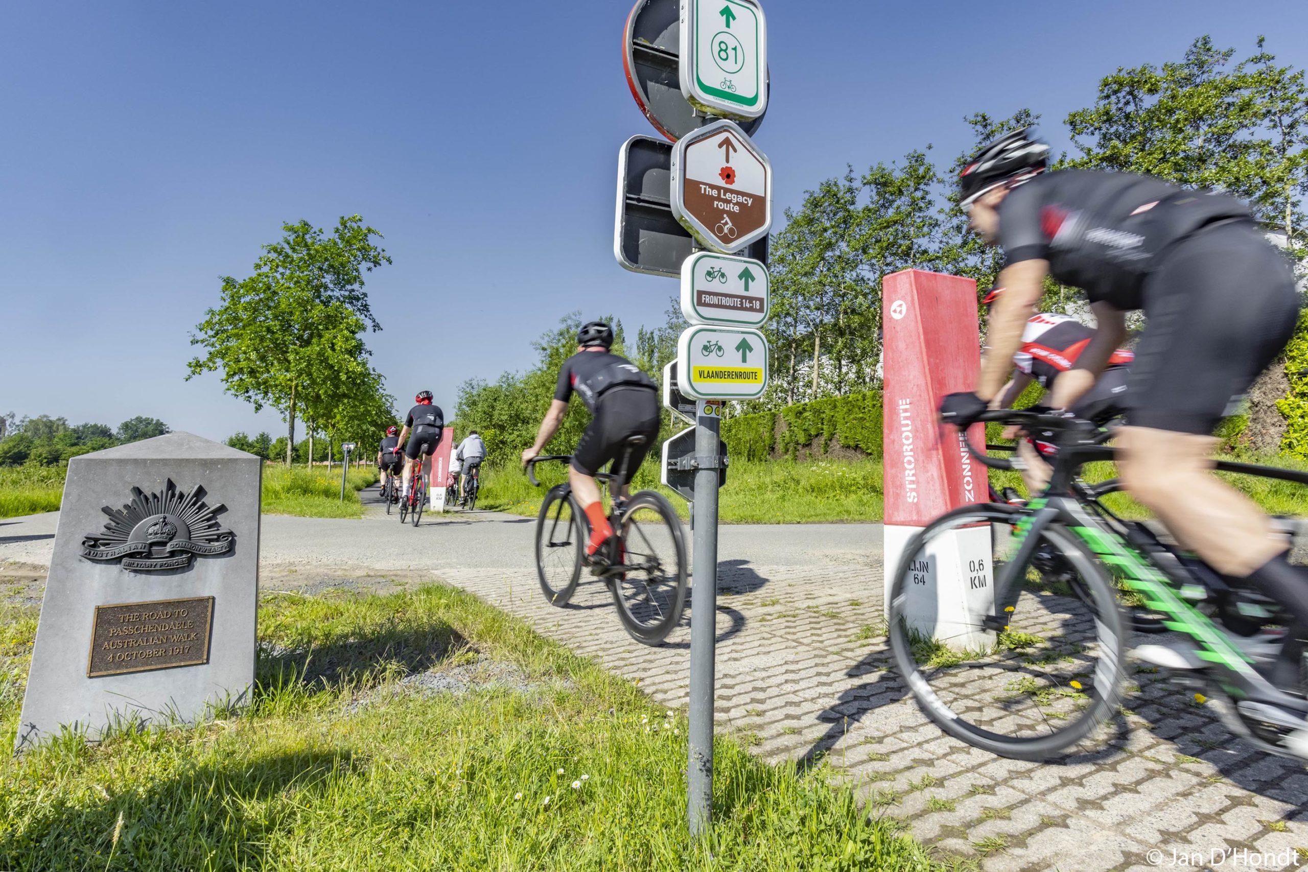
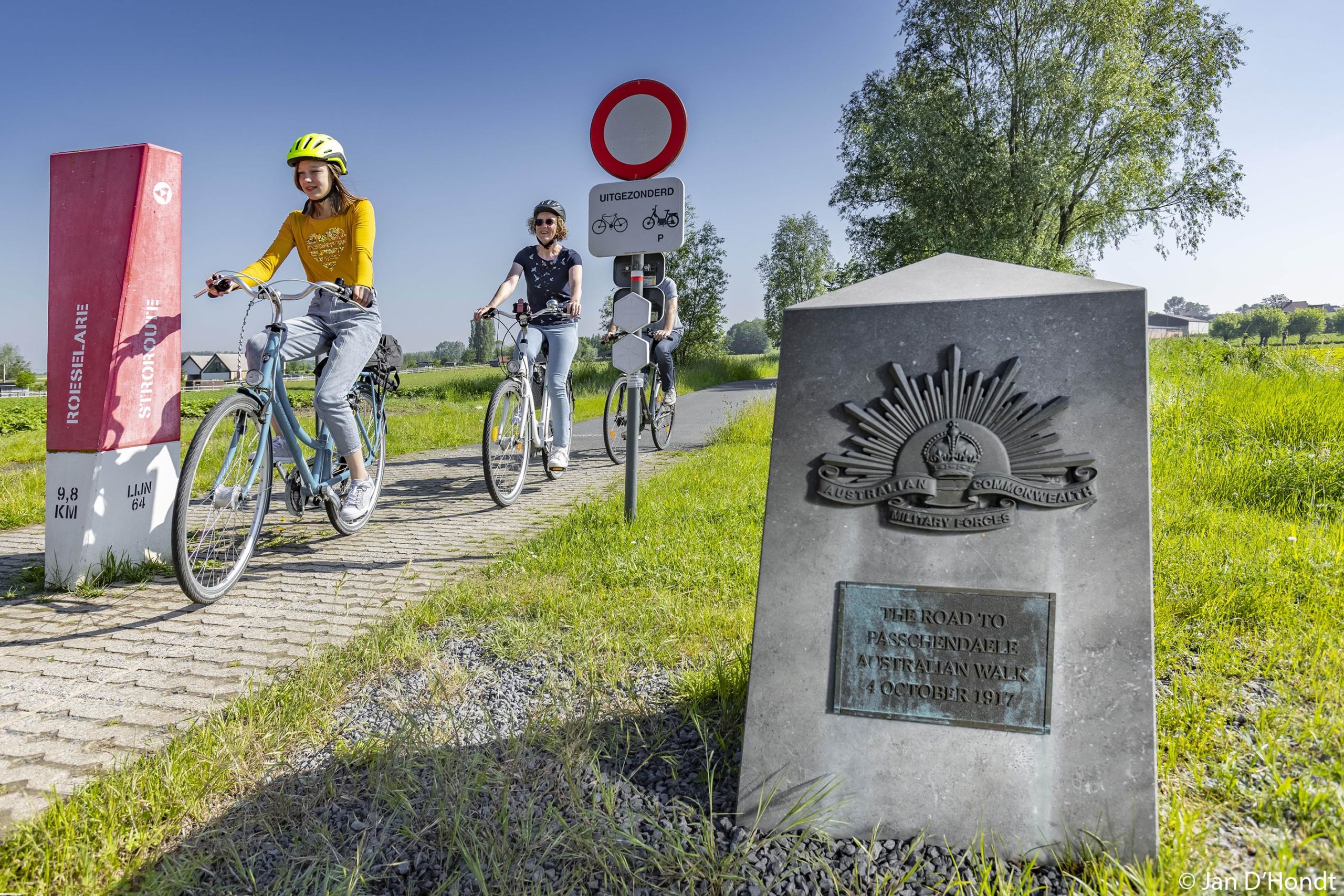
‘The Road to Passchendaele’ connects the Passchendaele Museum with CWGC Tyne Cot Cemetery. The half-hour walking route runs along the former railway line between Ypres and Roeselare. Line 64 was frequently used to transport beets and straw and was soon nicknamed, “the straw route”.
Road to Passchendaele
A railway line connection between Ypres and Roeselare ‘Railway 64’ was established in the mid-19th century (industrial changes). It included stops at Zonnebeke and between Moorslede and Passchendaele. During World War I, it was used for supplying troops and equipment. For the Australians, it was their ‘Road to Passchendaele’; it was the only road that was somewhat accessible in the muddy landscape. After the war, the railway was the best and fastest way to reach the devastated region.
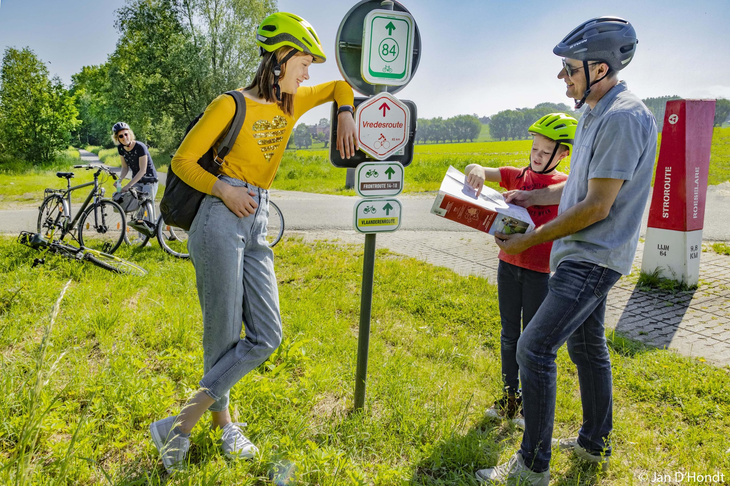
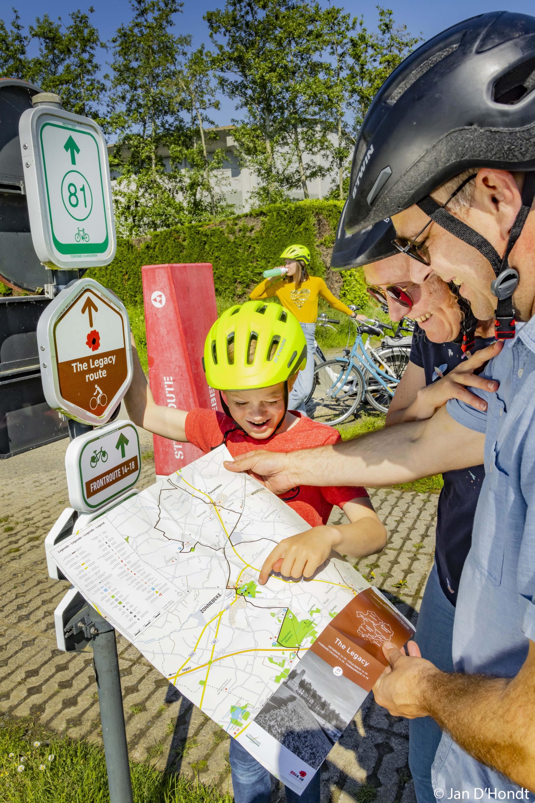
The route of the railway was redesigned as a green recreational axis between Ypres and Roeselare. On this bed you can relax on foot, on horseback or by bike. From the Passchendaele Museum, this route forms the best walking connection to CWGC Tyne Cot Cemetery and Passchendaele.
Practical info
- Description: Castle Park, Tyne Cot Cemetery, Passchendaele
- Starting point: Tourist office, Berten Pilstraat 5A, 8980 Zonnebeke
- Distance: 30 km
- Parking: Tourist office, Berten Pilstraat 5A, 8980 Zonnebeke


