The dead straight roads through this flat area are centuries old. They were built in the early 18th century, probably to clear the densely wooded landscape. The longest drive of 2 kilometres connects the hamlet of Reutel with the medieval castle of Beselare. It crosses an old footpath to Zonnebeke at this point.
During WWI
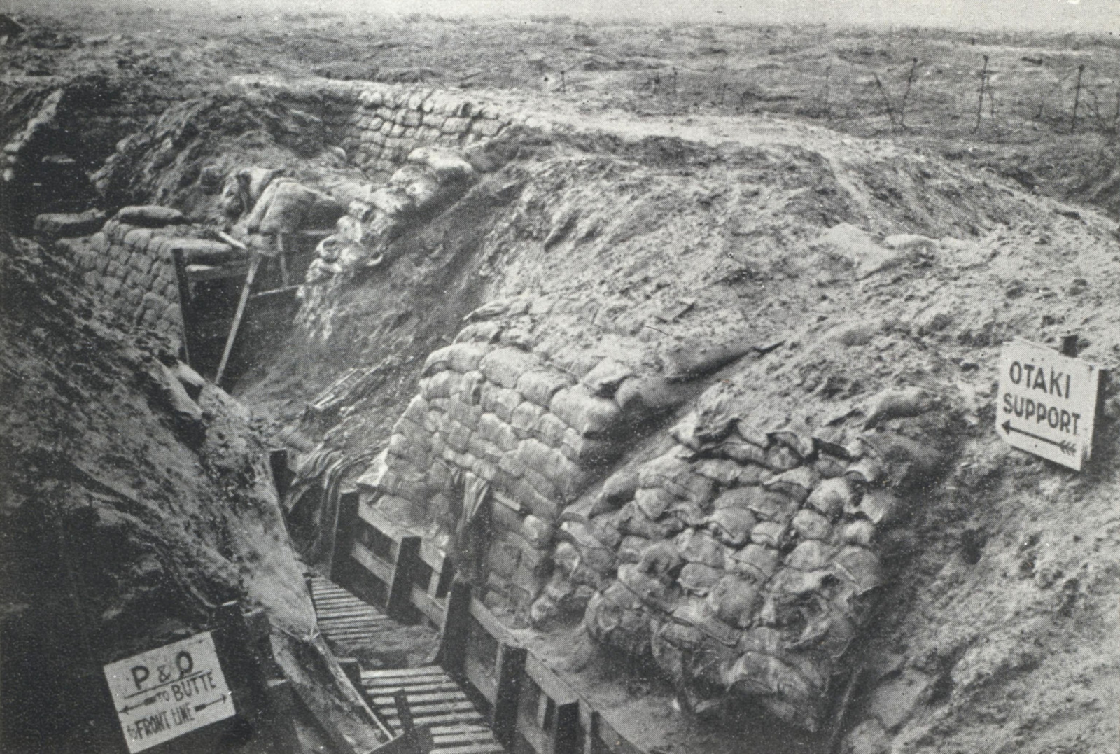
In 1917, more than 100 years after the castle was demolished, the Allied offensive runs aground in front of Beselare. The front line is dug in at this crossroads. From December 1917 to February 1918, it is New Zealanders who man it. The emphasis then is on defending. Numerous structures are built and a new network of trenches is aptly given New Zealand names, such as ‘Otaki Support’ in the photo.
Practical Information:
- Part of the Polygon Wood walking trail
- Can be guided


