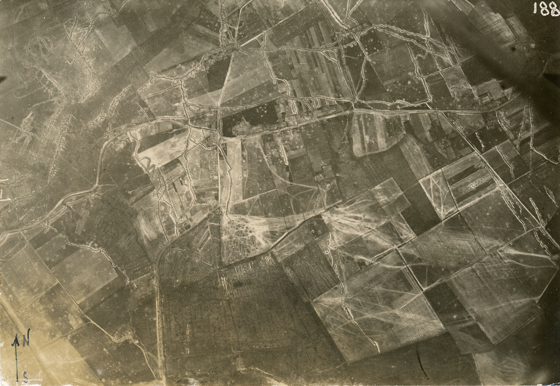
De Reutel or Reutelhoek is an ancient hamlet on the Mid-West Flemish ridge. It emerged around the intersection of the Oude Kortrijkstraat and the Oude Wervikstraat. These were important traffic arteries between Ypres and Kortrijk during the Ancien Regime.
As early as 1520, the specific name of the hamlet is mentioned as ‘eene wijk ghenaemt den reutele’, translated as ‘a neighbourhood called the reutele’. Several centuries later, in 1771-1778, the Ferraris map records the hamlet as the ‘Reutele Cabaret’, a inn at the crossroads.
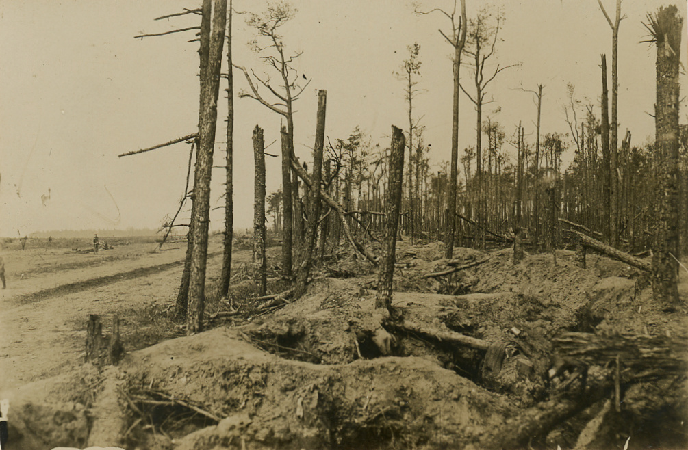
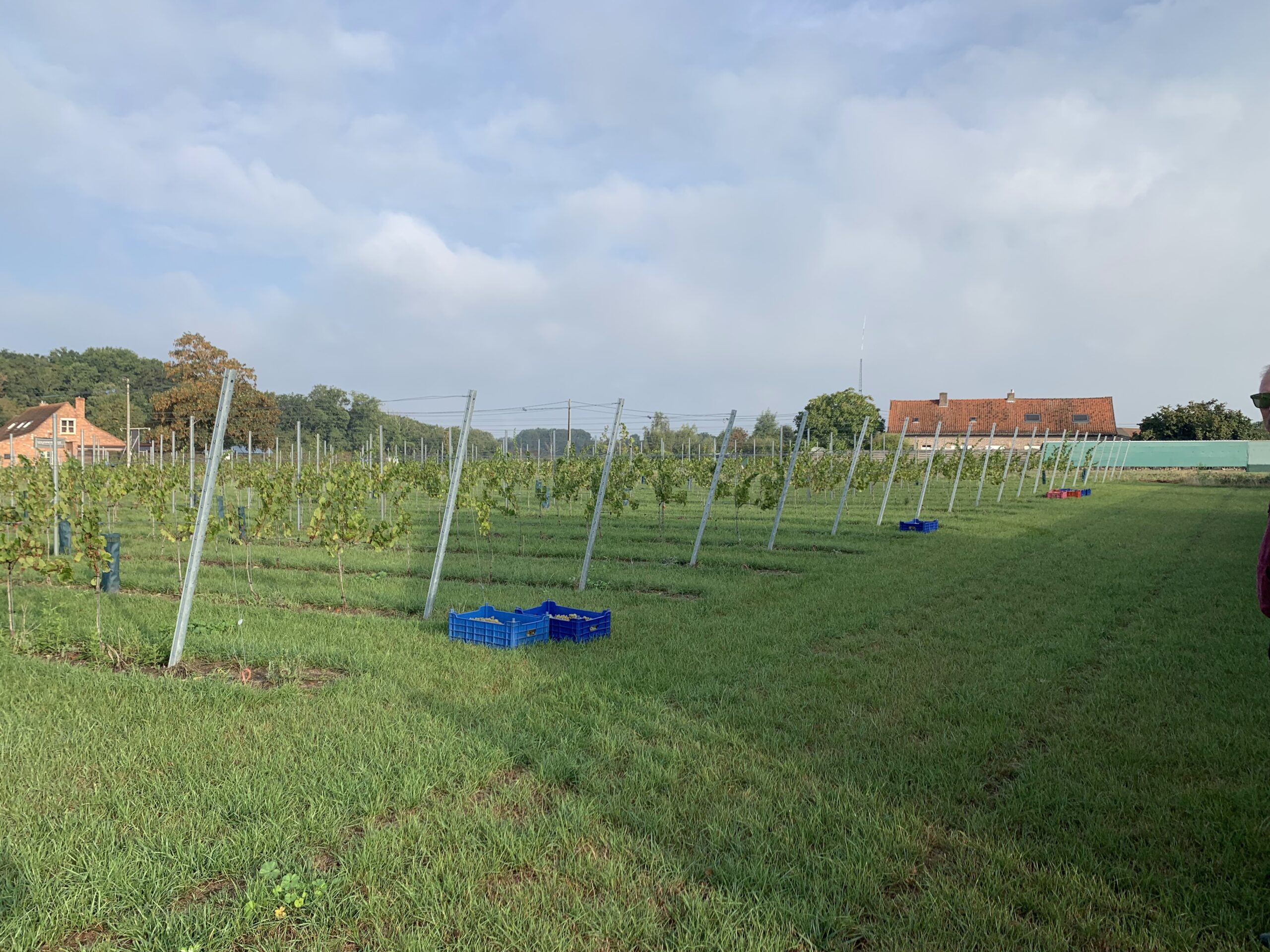
Even more than three centuries later, the weary traveller can still rest at an inn at den reutele. Unfortunately, the green character surrounding the hamlet has disappeared. Only the Reutel forrest and the Polygoon wood remain of the vast 18th-century abbey woods.


