During the first phase of the war (1914-1915), the landscape plays an important role. The abundant greenery forms a natural barrier that is fully exploited. Although many buildings are destroyed, the natural defences remain. The heights, woods, hedgerows and farms have a strong influence on the course of successive battles and the position of the front. They provide shelters and are essential as defences.
From 1916 onwards, the Germans begin building several fortified lines behind the front. Countless rows of barbed wire, machine gun nests and bunkers closely follow the topography and connect the most strategic landscape elements. Here you are on the Flandern I Stellung, the fourth German defence line. This line is characterised by military posts made of concrete, whose higher position provides an excellent overview of the battlefield.
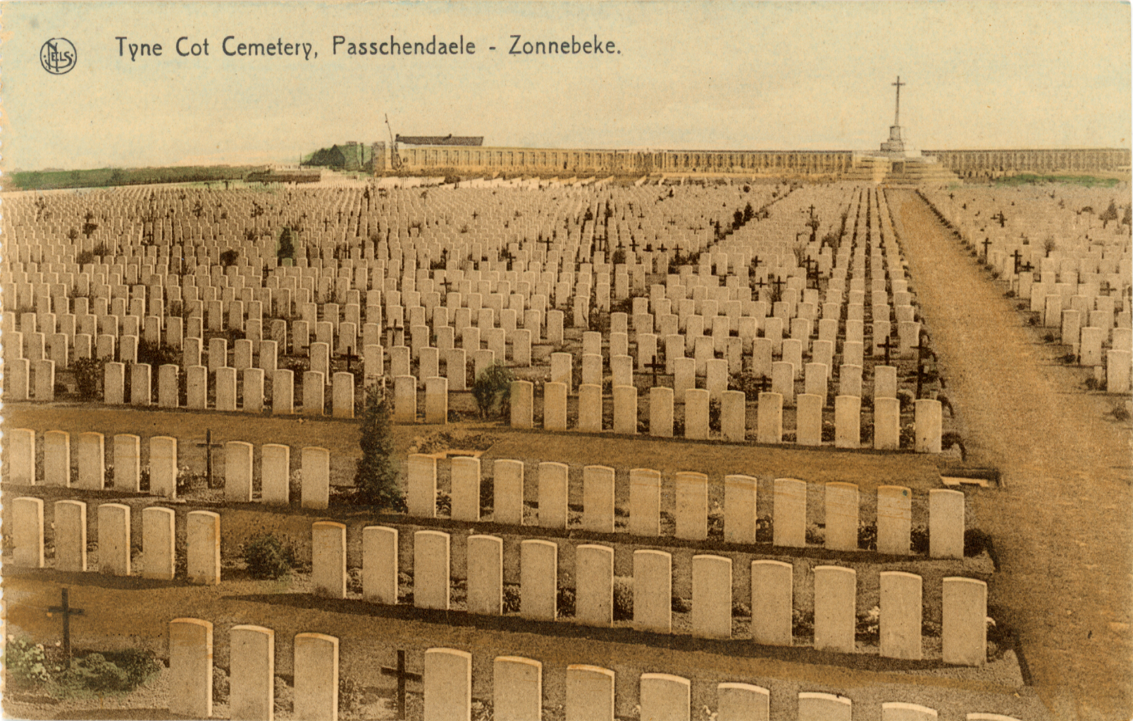
During the Battle of Passchendaele – also known as the Third Battle of Ypres – the destruction is total. Before each attack, the Allies completely blast the battlefield, trying to destroy the German defences. In just a few months, the terrain is transformed into a vast moonscape.


